|
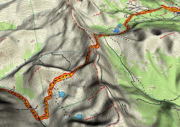
Mosquito Pass - 3D Map
Route Profile - East to West
|
|
|
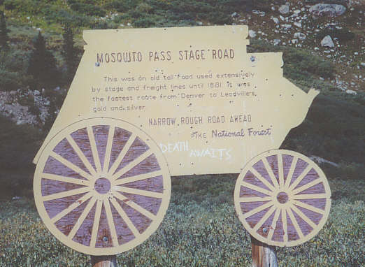
Mosquito Pass - Sign at East Side Recommended only for adventuresome souls. Mosquito Pass was at one time the only route available from Denver to the mining town of
Leadville. (Leadville is ostensibly still the highest community in Colorado). The route over the pass once required
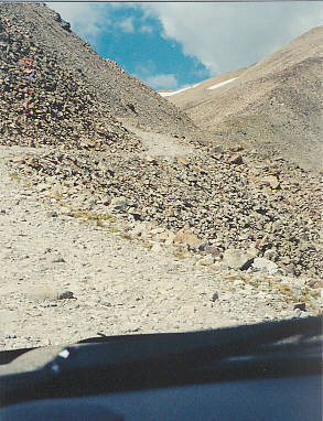
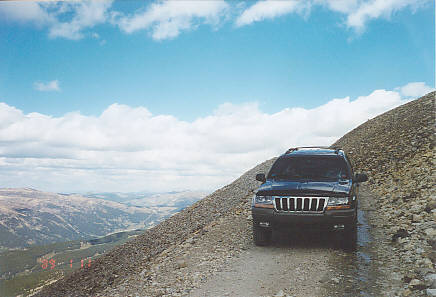
multi-horse teams to get people and freight over the 13,000+ foot summit. The current "road" is extremely
steep, narrow, and rocky and requires a four wheel drive vehicle with good ground clearance and low range gearing.
I was told by two BLM employees we met at the summit that it is currently the highest pass in North America with
a navigable road.
|
|
|
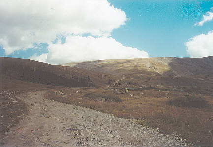
Mosquito Pass - Beginning of Eastern Slope
|
|
|
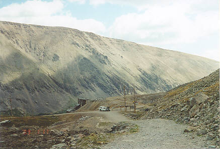
Mosquito Pass - Mine Halfway Up Eastern Slope
|
|
|
Mosquito Pass - Heading Up East Side
|
|
|
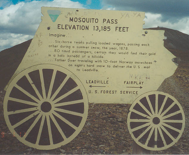
Mosquito Pass - Summit
|
|
|
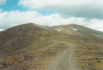
Mosquito Pass - Road to Weather Station on Summit
|
|
|
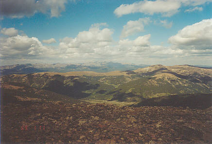
Mosquito Pass - Western View from Summit
|
|
|
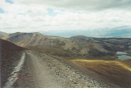
Mosquito Pass - Western Descent
|
|
|
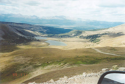
Mosquito Pass - Western Descent
|
|
|
Mosquito Pass - Western Descent
|
|
Menu
|
||||||||||||||||||
